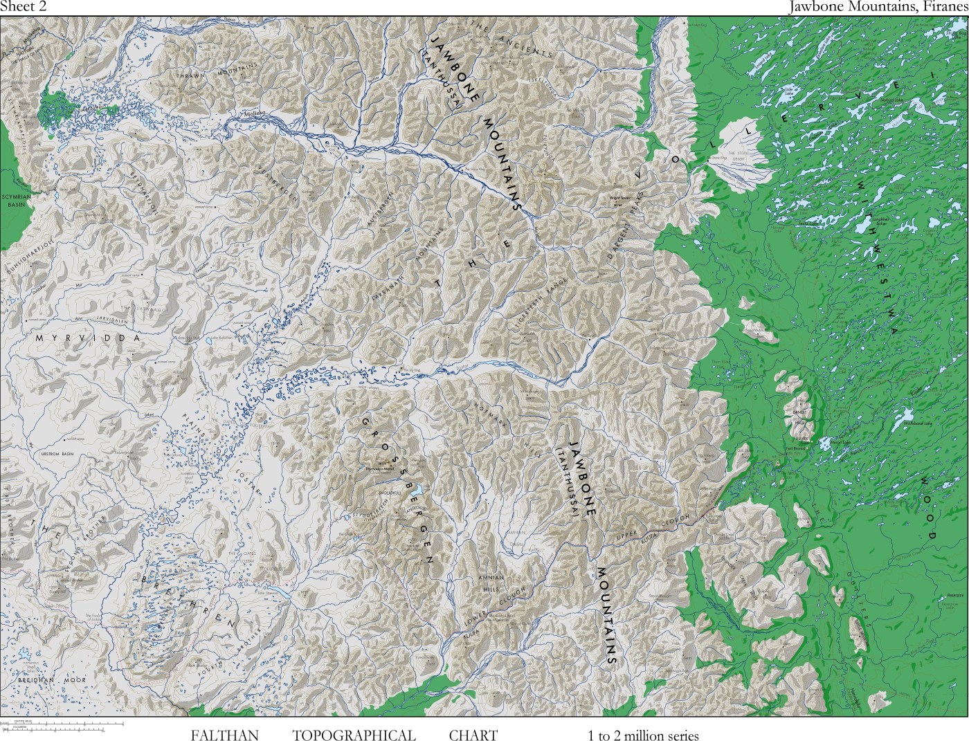
This map is one of a series of maps I made for my original fantasy trilogy, Fire of Heaven. I began writing in 1986 and spent most of 1987 making maps for the continent of Faltha. These I scanned and redrew in the late 1990s using FreeHand for Macintosh.
What is interesting about this is the inner tension they reflect. They have a topographic map style, a format I had critiqued during my Ph.D. Topographic maps reflect the priorities of the military, with their choice of features determined by the requirements of war. (I’ll have more to say about topographic mapping another time.) This is not the kind of map I wished to shape my fantasy world.
Yet topographic maps powered my own imagination. Coming from a background of relative poverty I did not travel as much as I would have liked, so as a child I used these maps to project my imagination around the world. I collected topographic maps and mind-travelled up their deep valleys, over their tall mountains and across their expansive plains. Looking back it was only natural that the twenty-five year old Russell would map his fantasy world using these devices.
However, I largely kept them out of my novels. By the time the novels were published, beginning in the early 2000s, I had developed other methods of cartographic representation. More on them later.

Leave a comment